
GIS Mapping
GIS Mapping
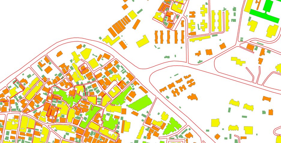
Geographic Information System (GIS) softwares are used to help us obtain, manage, analyze, and visually depict vast amounts of geographical data. Globally, both operational and strategic decisions are influenced by this data. It makes business easier by saving a significant amount of time, money, and effort. GIS technology are very valuable for almost any industry. To create, digitize, analyze, and interpret remote sensing data for groundwater, mining, archeology, and urban planning applications, we employ GIS software.
Get a Quote!