
Total Station/DGPS Surveying, Mapping & Demarcation
Total Station Survey
For almost fifty years, surveyors have employed total stations for land surveying, building construction, and a variety of other uses. Since its introduction, land surveying has been a common use for total stations among geologists, civil engineers, and geographic information system (GIS) specialists. Because geodetic surveys are used to determine latitude and longitude coordinates based on the heights of celestial bodies, they must be extremely accurate. In addition to being widely employed in construction project management, total stations are also used in boundary surveys and boundary verification.
The main applications are data collection for detail surveys, traverse surveys, height measurements (REM or remove elevation measurements), setting out, resection, area calculations, fixing missing pillars, remote distance measurement (RDM), and missing line measurements (MLM).
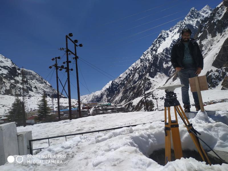
DGPS Survey
Differential Global Positioning System is referred to as DGPS. By repairing GPS signal flaws brought on by things like atmospheric interference and timing issues, DGPS improves upon the baseline Global Positioning System (GPS) and increases position accuracy. Applications like sea navigation, land surveying, precision agriculture, and civil engineering—where exact positioning is essential—often make use of DGPS.
Get a Quote!